Tools
A chronological finding aid linking each event to the supporting record. The timeline records documentary dates; it does not make a present legal or property conclusion.
Source-linked chronology#
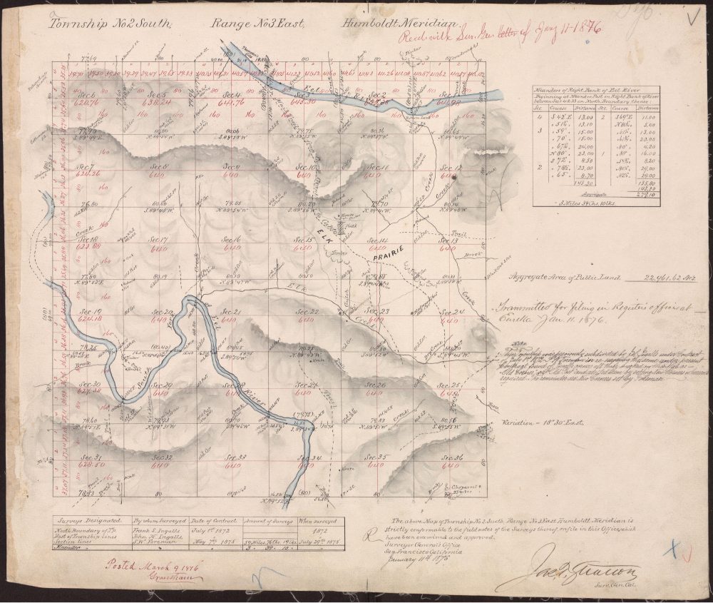
Federal survey framework#
Published survey discussion and the 1876 township plat provide historical Humboldt Meridian context. The exact role of each 1872–1876 date remains unresolved in the available sources.
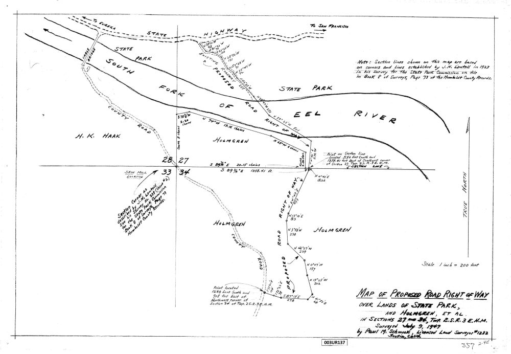
Proposed road right-of-way map#
County record 3 UR 137 documents a proposed historical alignment.
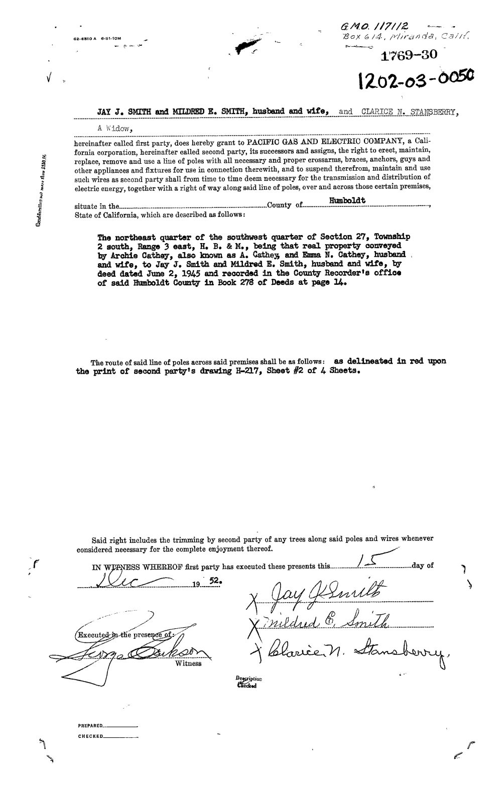
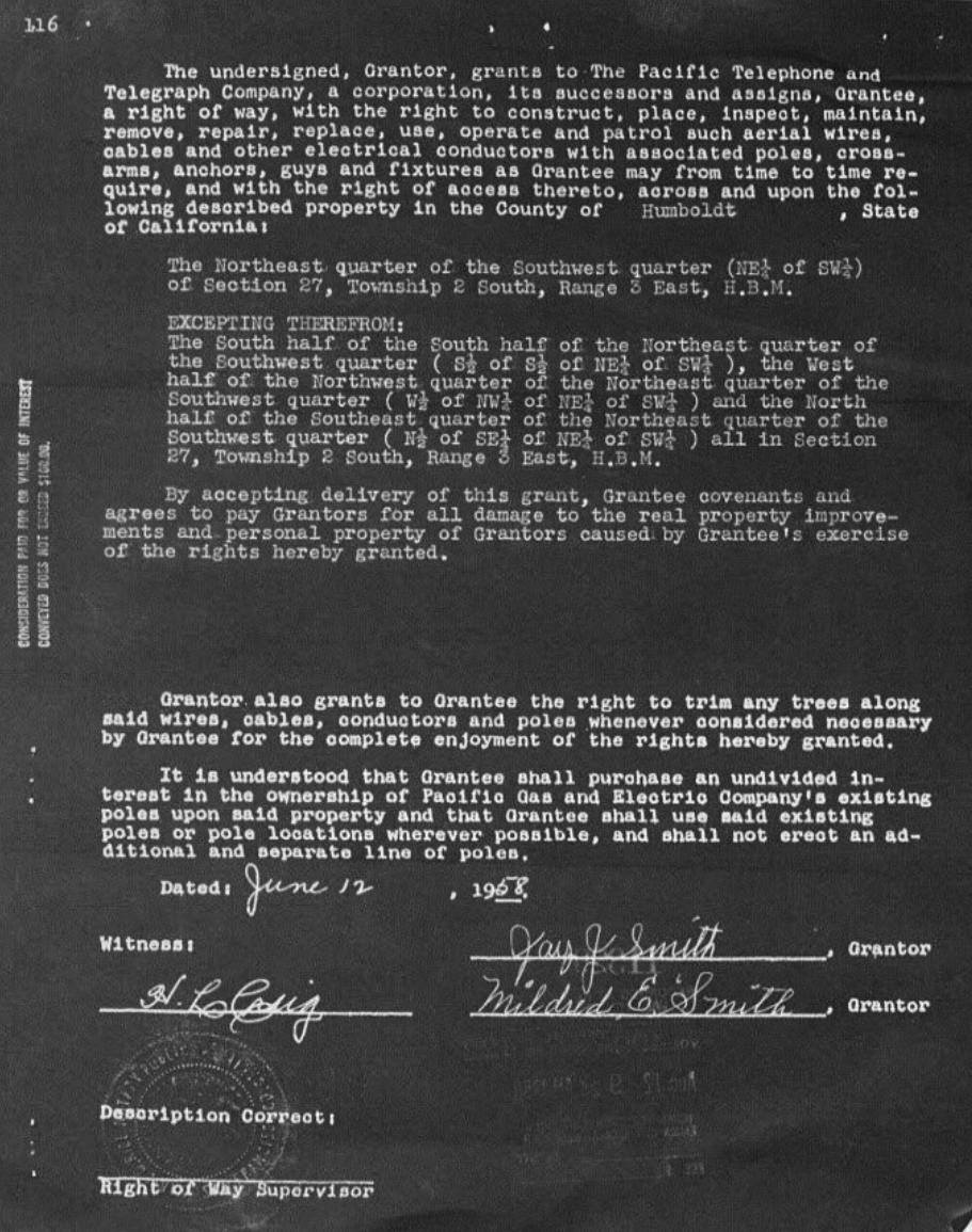
Telephone right-of-way grant#
Grant dated 12 June and recorded 12 August in Official Records 499/422.
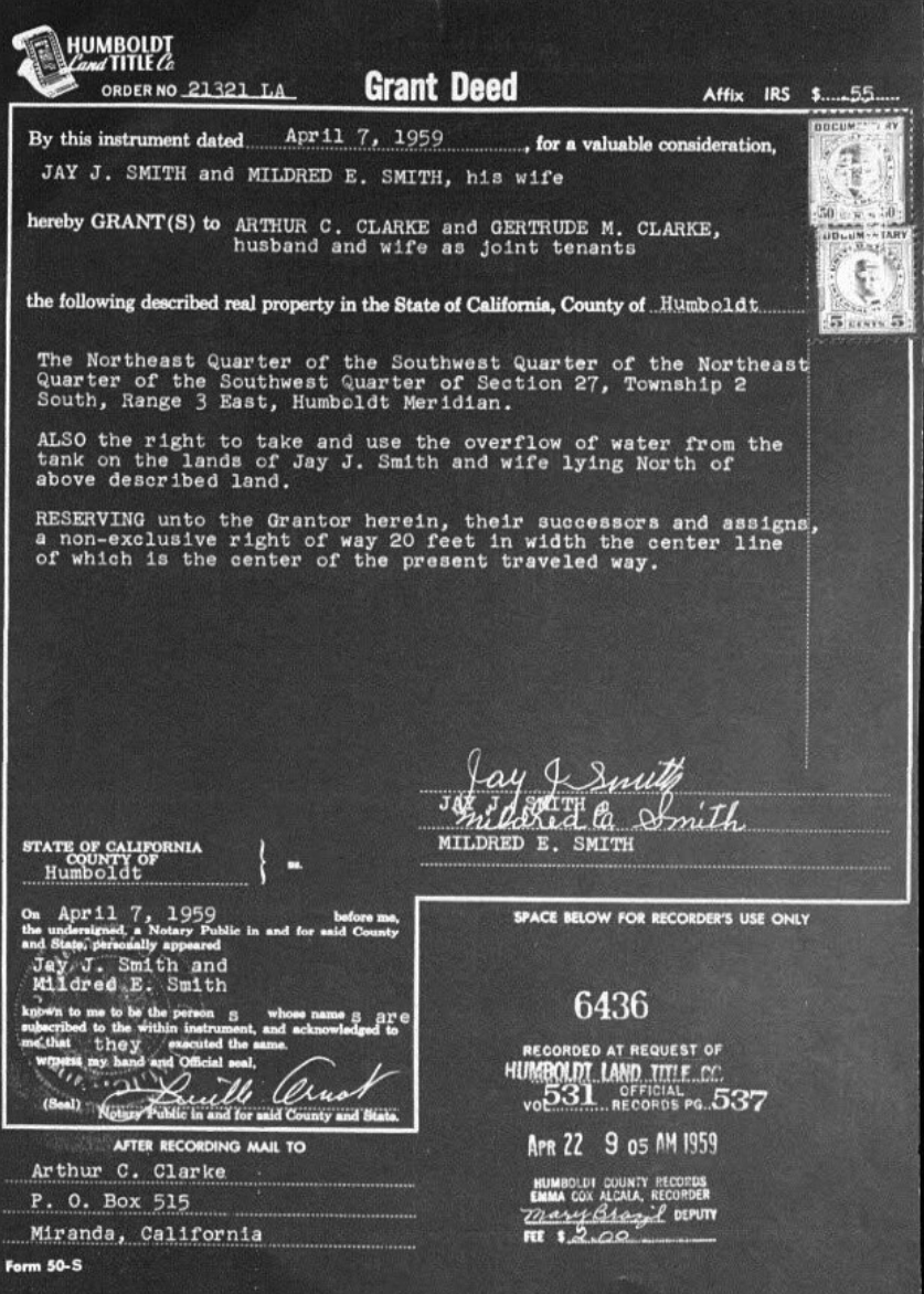
Smith-to-Clarke grant deed#
Recorded in Official Records 531/537; discussed in the historical water record.
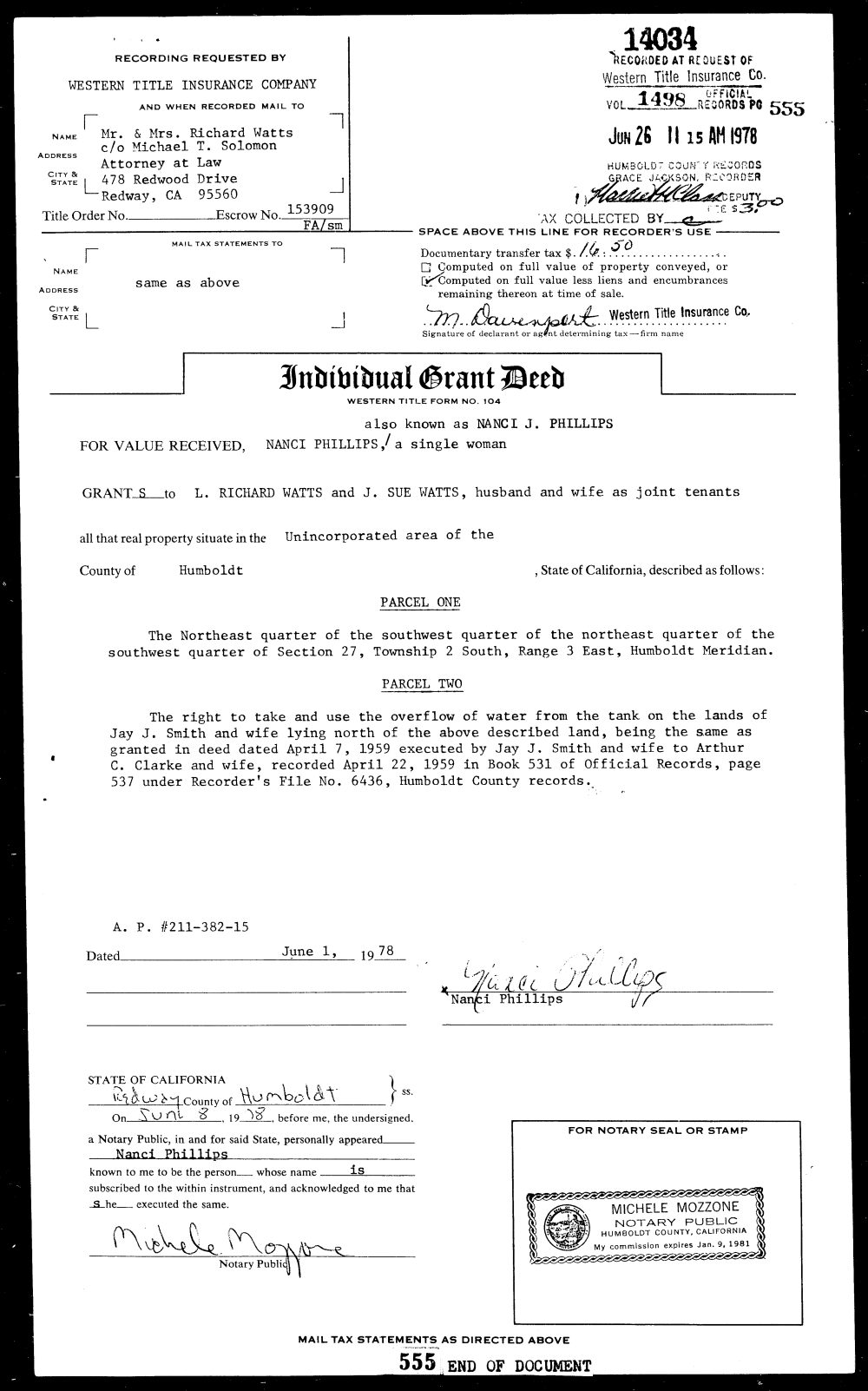
Phillips-to-Watts grant deed#
Recorded in Official Records 1498/555; identifies the earlier provision discussed on the water-history page.
Sudden Oak Death containment notice#
California Department of Parks and Recreation Notice of Exemption, SCH 2006018194.
Forest Service treatment report#
Federal research on treatment conditions and observations over time.
How to use this timeline#
Each linked record page identifies what the document says and what it does not establish. A date in the timeline is not an assertion that an historical condition continues, or that it resolves current road, water, land, access, or ownership questions.
Last materially updated and reviewed: 8 September 2026.
Document dates and historical interpretation#
The sequence distinguishes the date of an instrument from the date it was recorded. The telephone grant and the two deeds supply both. A document's recording date should not be treated as the date a road, tank, or utility was constructed. Likewise, the publication date of a research paper is distinct from the period it studies.
The survey history retains uncertainty within the 1872–1876 sequence. The Forest Service publication can now be dated to 2017 from the agency catalog. Its title and bibliographic source notes are available on the record page.
For the larger setting, read the Jay Smith Road historical overview. For comparisons by subject rather than date, use the categorized source register, map guide, or water-history article.
Regional and survey chronology#
- Before non-Native settlement: Sinkyone history precedes the park and federal survey framework.
- 1853: Humboldt initial point established on 6 October, according to BLM’s historical account.
- 1856–1894: Humboldt Meridian township maps identified in the National Archives collection guide.
- 1918: Save the Redwoods League formed.
- 1921: Humboldt Redwoods State Park established, as listed by State Parks.
- 1935: A Camp Humboldt Redwoods planting crew appears in the dated caption on the State Parks historical page.
- 1955: Eel River flood history in California State Parks’ regional account.
- 1960: Avenue of the Giants naming reference, ACR 10, chapter 36, in the Caltrans register.
- 22 December 1964: The Miranda station’s historical maximum, as listed in the 2009 USGS water-data record; floodmark and rating-curve methods are part of the source.
- 2019: Final-draft park road and trail plan.
Regional milestones provide context; they are not all events in the history of Jay Smith Road itself.