Tools
A public reference record for a 1947 historical map cataloged as county record 3 UR 137.
Record details#
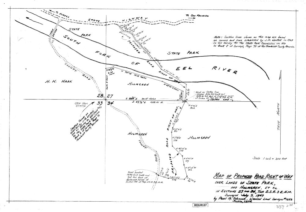
Neutral description#
The map documents a proposed alignment in a historical landscape. It does not, by itself, establish whether a route was built, public, private, open, or available today.
Date correction (21 October 2026): the original drawing is labeled “Surveyed July 9, 1947.” Earlier catalog text said 1952. The original PDF and its established download address are preserved.
A map of a historical proposal#
The word “proposed” is an essential part of this record's description. The map gives a specific drawing and reference for researching a historical alignment. It should not be summarized as a map of a road known to have been built merely because a route is drawn.
Use the public PDF to inspect the annotations and map information at a readable size. The preview helps identify the item but is not a substitute for reading the full drawing. Retain the date 1947 and county reference 3 UR 137 when recording a citation or seeking another copy.
Citation#
Proposed road right-of-way map, 1947, county record 3 UR 137; Jay Smith Road Historical Records, accessed 2 September 2026.
Last materially updated and reviewed: 8 September 2026.