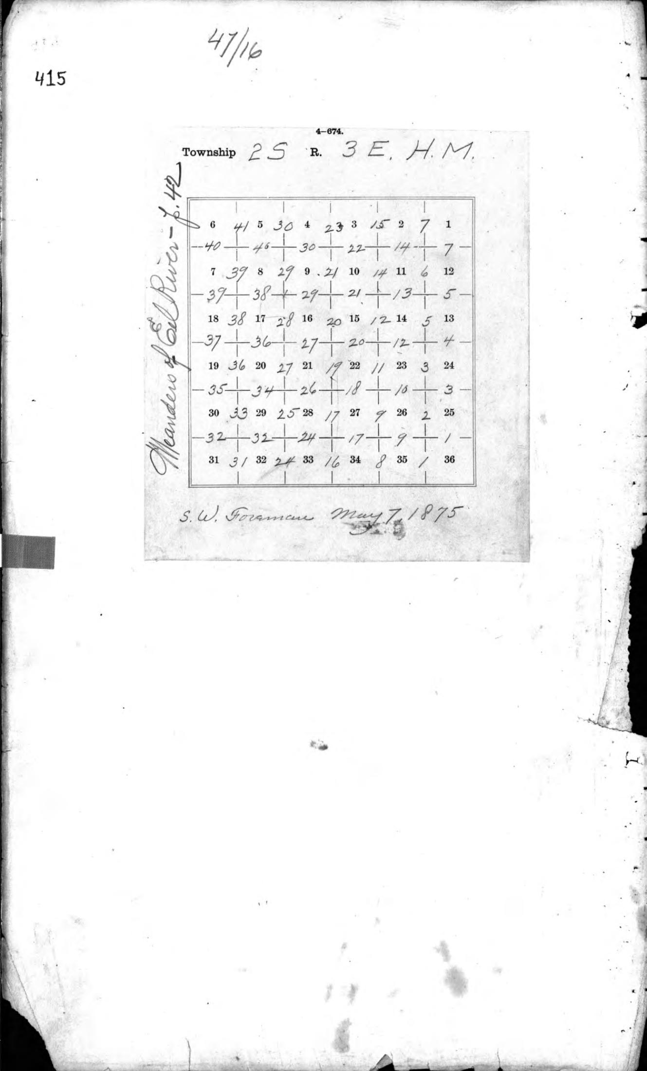
One-page archival excerpt from S. W. Foreman’s federal township field notes: original page 415 (PDF page 2 of the 46-page source). The diagram is inscribed May 7, 1875, and identifies Township 2 South, Range 3 East, Humboldt Meridian, including numbered Section 27. It is an index diagram, not a detailed survey plat or the complete field notes.
Archival excerpt
Citation
S. W. Foreman, township field-note index diagram, May 7, 1875. Federal field notes, R47, page 415; one-page excerpt from the collection’s pages 414–459 scan.
The numbered grid records historical survey-reference information. It does not establish present property boundaries or access.